


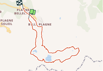
Plagne Bellecote a Roche de Mio

nave
User

Length
9.8 km

Max alt
2615 m

Uphill gradient
643 m
Km-Effort
18.6 km

Min alt
1927 m

Downhill gradient
686 m
Boucle
No
Creation date :
2021-03-11 10:04:32.171
Updated on :
2021-03-11 14:44:07.496
3h45
Difficulty : Very easy

FREE GPS app for hiking
 SityTrail
IGN / Geographical institutes
SityTrail Plus
The world is yours!
About
Trail Touring skiing of 9.8 km to be discovered at Auvergne-Rhône-Alpes, Savoy, La Plagne-Tarentaise. This trail is proposed by nave.
Description
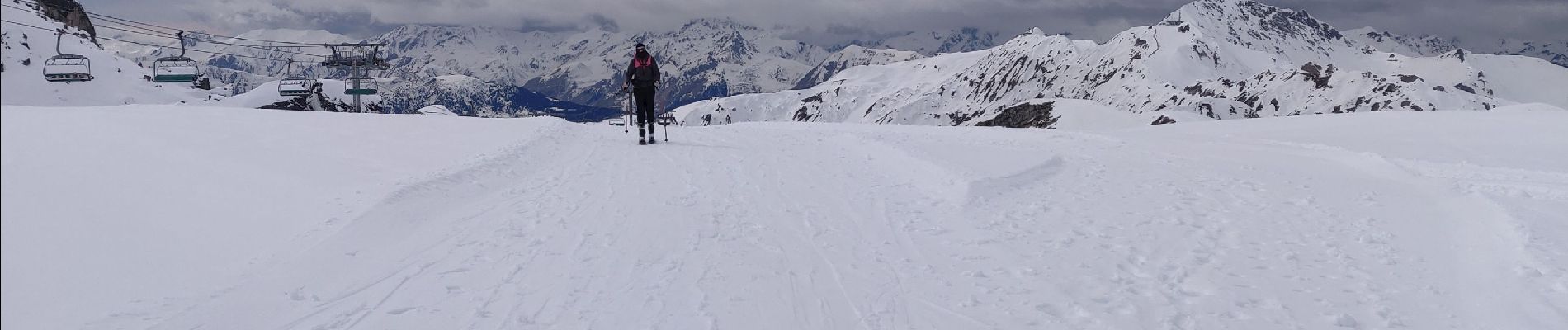
Itinéraire à partir de Plagne bellecote vers Roche de Mio à ski de randonnée - quelques passages techniques mais belle randonnée -descente par la piste des Sources
Photos


Positioning
Country:
France
Region :
Auvergne-Rhône-Alpes
Department/Province :
Savoy
Municipality :
La Plagne-Tarentaise
Location:
Mâcot-la-Plagne
Start:(Dec)
Start:(UTM)
320366 ; 5042136 (32T) N.
Comments